Photogrammetry and Remote Sensing
Remote sensing when applied to land surveying generally refers to the use of sensors to acquire the geometric or radiometric information of the Earth surface or ground objects. Sensors can be classified into "imaging/non-imaging" or "active/passive" types (see examples in Table 1).
Table 1: Examples of remote sensors
|
Sensor |
Type |
|
Digital camera |
Imaging/Passive |
|
Infrared imaging sensor |
Imaging/Passive |
|
Radar |
Imaging/Active |
|
Laser scanner |
Non-imaging/Active |
|
Sonar |
Non-imaging/Active |
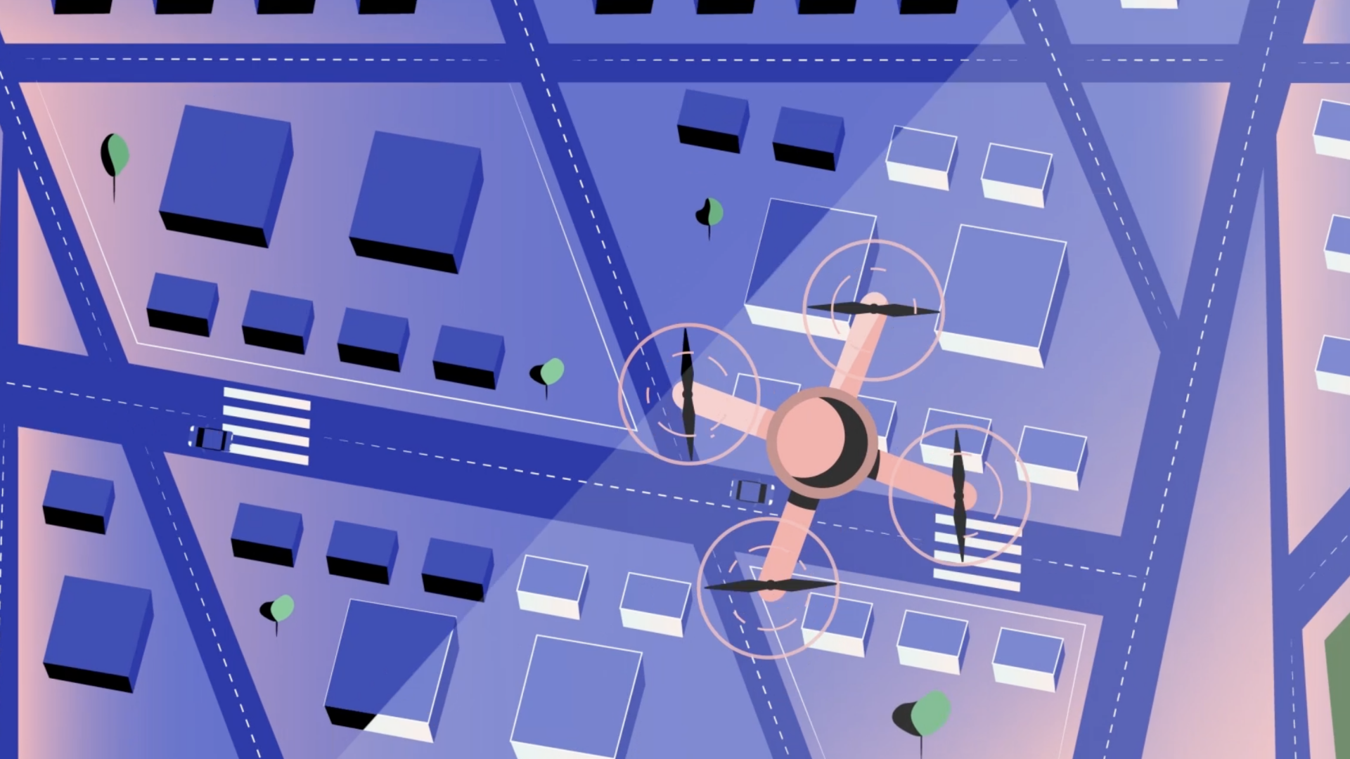
Photogrammetry is regarded as the earliest application of imaging or passive remote sensing dated back to one and a half century ago and has become a specialized stream focusing on the use of photographic images for measurement and information extraction. Nowadays, the sensor platforms for photogrammetry and remote sensing are highly versatile covering satellites, aircrafts, drones, mobile vehicles and backpack carriers. Land surveyors apply photogrammetric and remote sensing technologies widely in their specialized works ranging from mapping and land cover classification to 3D city modelling and change detection.
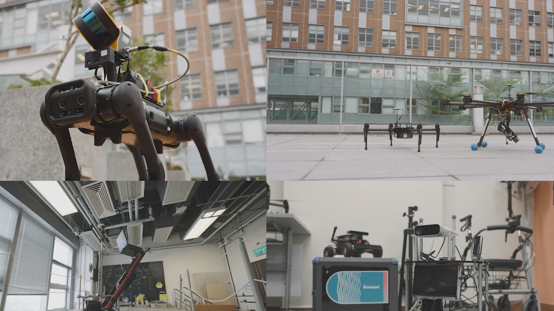
(Image Source: Department of Land Surveying and Geo-informatics, The Hong Kong Polytechnic University)
.jpeg)
(Image Source: Hong Kong Geodata Store, Lands Department, The Government of Hong Kong Special Administrative Region)